|
Problem: Buildings and terrain block drone telemetry and controller signals so a drone must maintain a radio line-of-sight to their pilot, which limits how they can be operated.
Small unmanned aerial systems (sUAS) such as consumer-grade drones using off-the-shelf technology are limited to line-of-sight (LOS) operations only. While range can be extended by the use of increased transmitter power, higher gain antennas, and use of frequencies better adapted to particularly urban environments, the laws of physics cannot be overcome. Drones cannot be operated behind terrain features or structures without a direct (radio) LOS to their operator. This inhibits the ability to operate sUAS at low-levels in narrow terrain or dense, urban settings. Without airborne control nodes or satellite control that major militaries have, civilian defenders in a domestic conflict, first-responders, or small-scale military users cannot exploit the full possibilities of sUAS capabilities as loss of communication occurs before range/endurance is exhausted. In an urban area, sUAS now have to be flown either no lower than rooftop height or the operator has to get “up” in order for his signal to clear buildings. A SWAT team drone pilot who wants to look into a window on the far side of a building can only see vertically down over the top of the building. He must shift his position, potentially into the line of fire, to the far side if he wants to communicate with the drone as it descends behind the back of the building. Alternatively, a better angle can be obtained by flying at a longer distance and looking obliquely, but this is a compromise. Changing positions constantly is potentially risky in a combat/hostile situation, delays the delivery of timely intelligence, is cumbersome, and can be exhausting. Accepting less-perfect solutions, such as a bad view into a hostage taker’s window, may compromise mission success. Solutions For sUAS, quadcopters and the like are maintained within LOS of the controller. Pilots needing a more distant radio horizon or for their signals to clear an obstruction need to transmit from a high elevation. Legalities aside, a repeater in a high location with a LOS to the desired operating area is technologically feasible. A small, lightweight, modular, end-user customizable remote-operable repeaters and mesh nets that can be quickly deployed to end “dark zones” for non-line-of-sight (NLOS) operation. Properly placed nodes in well-chosen points could create areas of radio reception beyond the LOS of the operator enabling flight in previously radio-blind areas. A tethered UAV could be flown with a node as an airborne repeater as well. These nodes should also be able to communicate together as a network so only one node (“master”) requires a direct LOS to the controller. As long as each node in the network can communicate with either another node or this “master” node, much of the network can be deployed NLOS to the controller. A small military unit expecting combat in an urban area could deploy nodes to strategic points to create areas of radio reception. Law enforcement could deploy notes around the perimeter of a building to enable the pilot to fly completely around a building at low-level from behind cover. Maneuverability would be greatly enhanced in an urban area where drones could be operated out of line-of-sight behind buildings or in narrow “urban canyons.” Militaries could operate from behind cover—i.e., behind a hill, over a ridgeline—and search and rescue units could descend into “blind” territory like canyons. Take for example a military unit assaulting an urban area. Prior to the attack, the unit sends out drones to deposit a master node on a tall building. From there, other nodes are deployed at lower level in strategic areas across the town out of sight of the UAS operator. A network now exists to where the drone can operate throughout the city below the skyline, behind buildings, and down to street level. The SWAT operator from the above example could fly from the safety of the command post and descend the drone directly in front of the window for a clear view in; something that currently would require the pilot to place himself in potential danger. Operational visibility could be enhanced beyond the usual “top down” view that a pilot, say looking into a backyard, only has if he is in front of a house. Search and rescue teams could send a drone out over varied terrain from their command post as well. High altitude or confined valleys and defiles could be searched more rapidly and safely than sending a high angle rescue team. An overwatch UAV at higher altitude, carrying a node as an airborne repeated, visually monitors the low altitude drone while remaining both within the LOS of the “blind” drone and the controller. Comments are closed.
|
Author Don ShiftDon Shift is a veteran of the Ventura County Sheriff's Office and avid fan of post-apocalyptic literature and film who has pushed a black and white for a mile or two. He is a student of disasters, history, and current events. Archives
May 2024
Categories
All
As an Amazon Associate I earn from qualifying purchases.
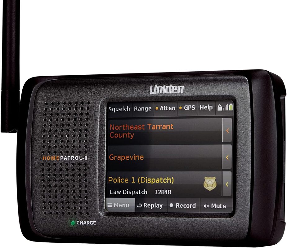
The best scanner for people who want trunking capabilities but don't have a masters in radio programming. https://amzn.to/3OUtPAE
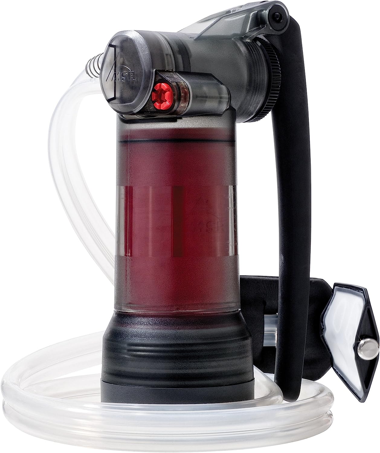
MSR Guardian-the best water purifier that can filter out most viruses.
https://amzn.to/3pkKepc
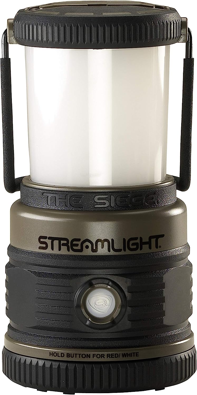
Streamlight Siege: a surprisingly good, rugged lantern. https://amzn.to/3XmrMsK
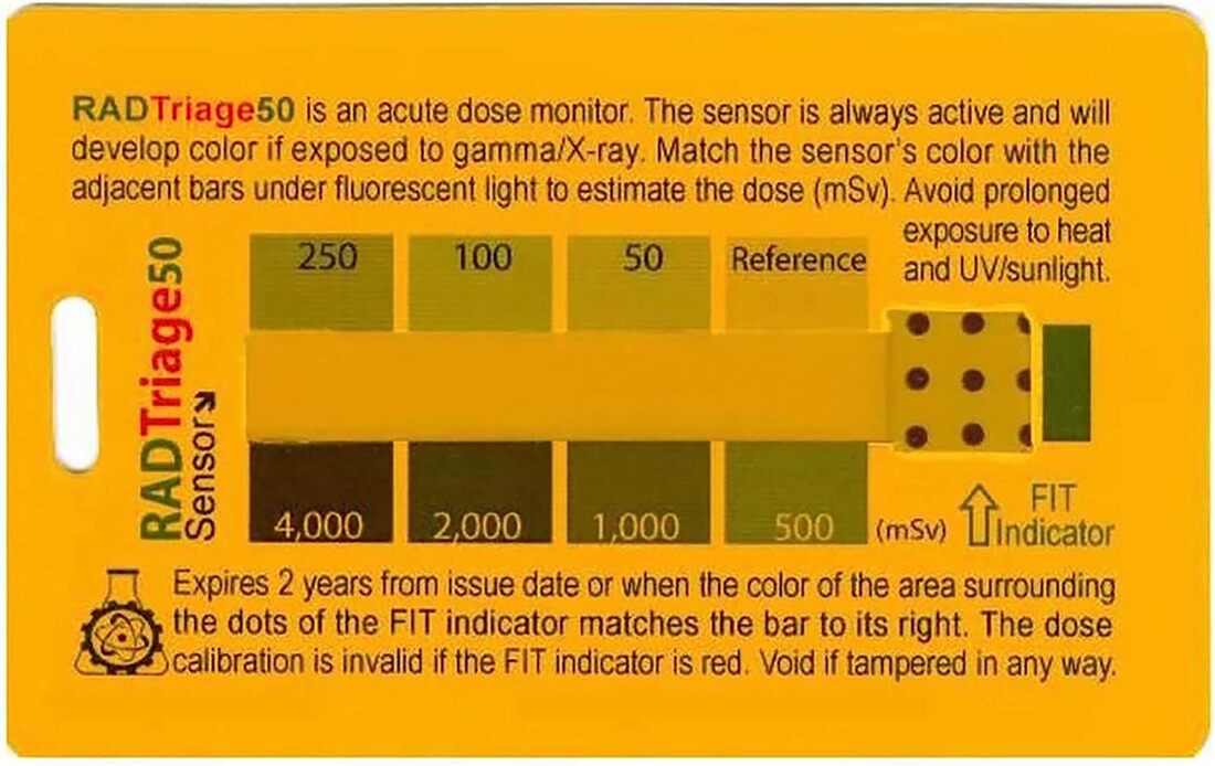
Analog radiation dosimeter. https://amzn.to/3r5kTzS
https://amzn.to/3qXL5MW

https://amzn.to/3CL8m7E
|
 RSS Feed